Thank you for your interest in Hi-Target. We will contact you soon.
INDUSTRIES
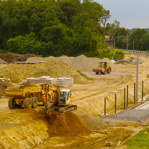
Topografía y Marina
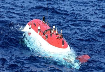
Hi-RTP can provide global high-precision PPP service for marine and land survey in desert、weak infrastructure area、 poor network environment and challenge envirment.
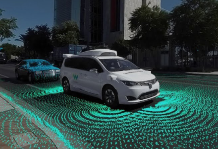
Vehículo Autónomo
Hi-RTP promotes the comprehensive positioning capability of internet vehicles, and facilitates the efficient interconnection and safe operation of vehicles.
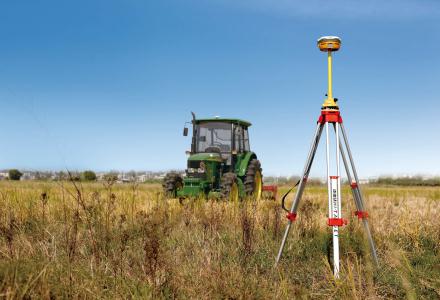
Agricultura Inteligente
Hi-RTP could provide basic precision service for autonomous agricultural machinery and plant protection UAS.
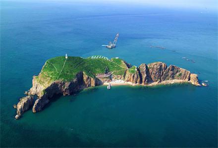
Producto Marino
We concentrating on the maritime surveying solution!
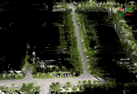
Infrastructure and Utilities
A complete and visible 3D scanning solution to meet high-precision needs.

Bosque
Unveil the information of the plots and trees.

Tierra Agrícola
Keep all of lands in GIS to manage the harvest.

Catastro
Record the information behind the plots.

Topografía de Catastro
Solución clásico y adaptable

Ingeniería Civil
Trabajo eficiente desde el campo hasta la oficina, para convertir el sueño en realidad
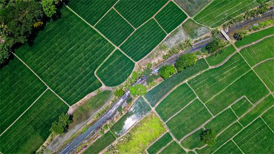
Topografía Geodética
Coordenadas precisas y confiables
 DISTRIBUIDOR CERCANO
 PARTNER CENTER
 MENÚ
MENÚ
 Español
 GNSS RTK
 Óptico
 GIS
GIS Hidrografía & Oceanografía
 CORS & Posicionamiento Preciso
 Software
 Laser & MMS
 UAV
UAV
 Infraestructura GNSS
 Posicionamiento en el Interior
 Conducción Automática
 Monitoreo Automático
 Control de Máquinaria
 Agricultura de Precisión
 Equipos UAV de Precisión
 Mapeo Móvil
 Antena GNSS
 Topografía & Ingeniería
 Sistema de Información Geográfica
 Escaneo 3D & Mapeo Aéreo
 Producto Marino
 Servicio de Corrección Global
 Partner Center
 FAQ
FAQ
 Próximos Eventos
 Noticias
 Boletín Informativo
 Webinar
 Acerca de Nosotros
 Distribuidores Cercanos
 Enviar una Cotización
 Socios Estratégicos
 Únase a Nosotros
 Hágase Socio