Thank you for your interest in Hi-Target. We will contact you soon.
Servicio de Corrección Global
Hi-Target Hi-RTP utiliza una red global de estaciones de referencias de Multi-GNSS y algoritmos avanzados para generar una órbita de satélite GNSS de alta precisión, desviación, reloj y otros parámetros del sistema. Esta información permite que Hi-RTP proporcione servicios de corrección con precisión de posicionamiento a nivel de submetro o centímetro a los receptores. Las correcciones se transmiten en tiempo real, con latencia mínima, a través de satélites de banda L y transmisión por Internet en todo el mundo.
Topografía y Marina
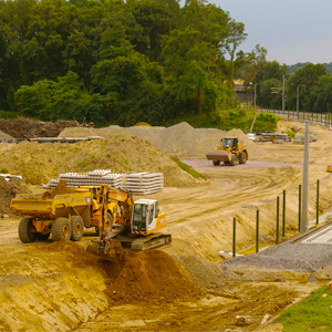
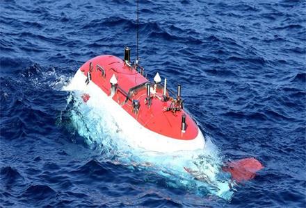
Hi-RTP can provide global high-precision PPP service for marine and land survey in desert、weak infrastructure area、 poor network environment and challenge envirment.

Vehículo Autónomo
Hi-RTP promotes the comprehensive positioning capability of internet vehicles, and facilitates the efficient interconnection and safe operation of vehicles.

Agricultura Inteligente
Hi-RTP could provide basic precision service for autonomous agricultural machinery and plant protection UAS.
Case Study

A Glance of Hi-Target CORS
A Glance of Hi-Target CORS With the development of economy and urbanization, users have higher requirements for the p...
Más Información >
Constantly Innovating To Improve GNSS RTK Data Collection
Constantly innovating to improve GNSS RTK data collectionNiki WongThrough the GNSS technology development, geographic...
Más Información >
Hi-Target CORS Applied in Zhuhai Beidou CORS Project
Hi-Target CORS Applied in Zhuhai Beidou CORS Project December 16th 2018 was a big day for Engineer Wang and his team ...
Más Información > DISTRIBUIDOR CERCANO
 PARTNER CENTER
 MENÚ
MENÚ
 Español
 GNSS RTK
 Óptico
 GIS
GIS Hidrografía & Oceanografía
 CORS & Posicionamiento Preciso
 Software
 Laser & MMS
 UAV
UAV
 Infraestructura GNSS
 Posicionamiento en el Interior
 Conducción Automática
 Monitoreo Automático
 Control de Máquinaria
 Agricultura de Precisión
 Equipos UAV de Precisión
 Mapeo Móvil
 Antena GNSS
 Topografía & Ingeniería
 Sistema de Información Geográfica
 Escaneo 3D & Mapeo Aéreo
 Producto Marino
 Servicio de Corrección Global
 Partner Center
 FAQ
FAQ
 Próximos Eventos
 Noticias
 Boletín Informativo
 Webinar
 Acerca de Nosotros
 Distribuidores Cercanos
 Enviar una Cotización
 Socios Estratégicos
 Únase a Nosotros
 Hágase Socio